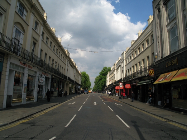
Nelson Road
 OVERVIEW
 IMAGES
 MAP
MAP BUSINESS MAP
 RETAIL MAP DIAGRAM
Nelson Road is located in Greenwich Town Centre. It is adjacent to Greenwich Church Street at one end and Romney Road at the other.
King William Walk cuts across it near the end with Romney Road. The entrance to Nelson Arcade is located about halfway along on the north side. The nearest station is Cutty Sark on the Docklands Light Railway.
There are 18 businesses on Nelson Road.
Number of businesses on this street: 18
Nearby Streets and Stations
- Nearby Streets:
- Nelson Arcade (0.01 miles)
- Turnpin Lane (0.02 miles)
- King William Walk (0.03 miles)
- Greenwich Market (0.04 miles)
- Durnford Street (0.05 miles)
- Greenwich Church Street (0.06 miles)
- College Approach (0.07 miles)
- Creek Road (0.09 miles)
- Romney Road (0.1 miles)
- Crescent Arcade (0.1 miles)
- Stockwell Street (0.1 miles)
- Nevada Street (0.11 miles)
- Old Royal Naval College (0.12 miles)
- Crooms Hill (0.14 miles)
- Burney Street (0.15 miles)
- Greenwich Promenade (0.16 miles)
- Greenwich High Road [Greenwich Town Centre Section] (0.17 miles)
- Haddo Street (0.23 miles)
- Royal Hill (0.24 miles)
- Wood Wharf (0.25 miles)
- Greenwich South Street [Greenwich Town Centre Section] (0.26 miles)
- Park Row (0.28 miles)
- Circus Street (0.29 miles)
- Victoria Parade (0.31 miles)
- New Capital Quay (0.31 miles)
- Crane Street (0.32 miles)
- Nearby Stations:
- Cutty Sark - DLR (0.11 miles)
- Greenwich - Overground (0.28 miles)
- Greenwich - DLR (0.36 miles)
- Maze Hill - Overground (0.51 miles)
Shops on Nelson Road
- Business types on this street:
- Restaurants (7),
- Coffee Shops and Sandwich Bars (1),
- Art Galleries (1),
- Chocolate Shops (1),
- Ice Cream Parlours (1),
- Bakers (1),
- Opticians (1),
- Cake Shops (1),
- Curtains and Blinds (1),
- Card Shops (1),
- Hairdressers - Unisex (1),
- Charity Shops (1).
- Number of businesses on this street:
- 18